Foulness Churchend Conservation Area Appraisal and Management Plan
5. Location and Landscape Setting
Location and context
5.1 Churchend is a small village settlement on Foulness Island, a remote estuarine island on the Essex coast. It is approximately five miles from Great Wakering which has a range of local services, and eight miles north of the conurbation of Southend.
5.2 Foulness is owned by the Ministry of Defence, and the marsh sands of the island are used as a proving ground for munitions. Access on and off the island is controlled by QinetiQ Shoeburyness who run the operational business on behalf of the MoD. The MoD is the principal freeholder of property on the island, with a handful of exceptions that include the church, rectory and the old schoolhouse in Churchend.
5.3 Despite the military ownership there are large areas of arable cultivation on the island.
5.4 Foulness Island is a civil parish within the jurisdiction of Rochford District Council.
5.5 There is a population of just under 200 in the parish, which in 2001 comprised 87 households Employment on the island is provided by the MoD and QinetiQ, as well as in agriculture.
5.6 In addition to scattered military installations, Foulness is characterised mostly by dispersed settlement in the form of small, isolated farmsteads. Churchend is the larger of two villages in the north of the island, the other, Courtsend, being little more than a hamlet.
General Character and Plan Form
5.7 Churchend is a small rural village on the main road that runs through the island known as the spinal road, constructed by the MoD in 1922. Prior to the building of this road, an irregular network of older tracks and roads provided access to key buildings, including the church, the manor house and associated farm, the pub, the school and the windmill (now demolished). The conservation area is triangular in form, extending northwards from number 32 Churchend in the south to the former Primary School in the north-west and Churchfield Cottages in the north-east. This encompasses the older historic core of the settlement along with the 20th century linear development that extends southwards along the MoD road. The village green lies at the heart of the village, in front of which the main road turns east with a subsidiary road heading west passing the school.
Landscape setting
5.8 Foulness is the largest of six islands that make up the Essex archipelago at the confluence of the River Crouch and the River Roach. The island covers about 6,310 acres. The other islands in the group are New England, Havengore, Potton, Rushey and Wallasea. It is part of an open estuarine system with a varied landscape comprising grazing marsh, saltmarsh, inter-tidal mudflats, cockleshell banks, sand-flats and arable. The landscape is flat, with occasional scrub and low lying trees.
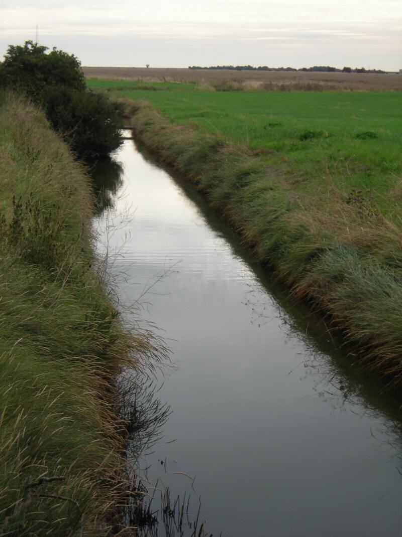
5.9 The surface geology is composed of varied marine sediments which extend seawards to form most of Wallasea, Foulness and the Roach archipelago as well as the eastern Dengie peninsular. The soils here are generally deep and clayey or silty clays, with fluctuating groundwater levels and risk of flooding. Water is controlled by a complex system of drains and ditches, some retaining the curves and bends of natural watercourses, others more regular.
5.10 The landscape is characterised by abundant evidence of historic settlement and field patterns reflecting a long history of development and land reclamation and which are essential features of the special landscape character of the island2. The land is criss-crossed by old roads and tracks, often on the earthworks of relict sea walls and counter sea walls, some of medieval origin, which protected the island from inundation. The ancient 'Broomway', possibly of Roman origin and still a public right of way, survives in the inter-tidal area. Historic field boundaries can be identified in the present field pattern with areas of reclaimed pre-18th century drained curvilinear fields and post 18th century rectilinear drained fields, and some later enclosure. Around the conservation area are some large arable fields where historic boundaries have been lost.
5.11 The wider landscape of Foulness and Maplin Sands is of national and international natural conservation importance, and is protected by a number of ecological designations. Foulness is internationally famous as a haven for wildlife, and at low tide the broad flats that extend seawards are home to large numbers of wildfowl and feeding waders. Parts of the island and the adjoining Maplin Sands are designated as a Special Protection Area (SPA) specifically for their importance to wild birds. The intertidal zone is within the Essex Estuaries Special Area of Conservation (SAC). The sands and parts of the island are a Site of Special Scientific Interest (SSSI), as well as being designated a Ramsar site. The special status of parts of the island and its wider environment are recognised in the Rochford District Replacement Local Plan with areas designated as Wildlife Sites and Sites of National and International Nature Conservation Importance. The Plan sets out a range of policies with regard to protection of natural resources, including policies NR5 (European and International Sites), Policy NR6 (Sites of Special Scientific Interest), and Policy NR7 (Local Nature Reserves and Wildlife Sites).
5.12 The importance of the wider landscape was further recognised in 1994 when parts of the Essex coast including the whole of Foulness were designated an Environmentally Sensitive Area (ESA) by the Ministry of Agriculture, Fisheries and Food (now DEFRA). This agri-environmental scheme, now closed to new applicants, offered incentives to encourage farmers to adopt agricultural practices which would safeguard and enhance parts of the country of particular high landscape, wildlife or historic value. The Essex coast was considered nationally important because of its extensive areas of grazing marsh and river valley grassland that display historic farming and land reclamation patterns, and support a wide range of wildlife.
5.13 The landscape setting is a defining aspect of the special character of Churchend village conservation area, with open spaces and gaps between buildings and scrub providing constant expansive views out. There are distant views to the low, broad horizon beneath open skies. The high-rise developments of Southend are visible on the skyline to the south, with views to the distinct low hill of Canewdon to the west. Boats can be seen moving along the estuary, their white sails visible above the low lying land. Looking seaward towards the sands to the east plumes of smoke occasionally rise from the firing range. Old tracks and ditches extend out from the village into the landscape. The settlement edge is ill-defined, merging seamlessly with the agricultural and estuarine landscape beyond.
Fig. 2 Drainage ditch looking east from Old Hall Farm.
2 More information is contained within the Rochford District Historic Environment Characterisation Project produced by Rochford District Council and Essex County Council.