Shopland Churchyard Conservation Area Appraisal and Management Plan
Character Appraisal
4.0 Spatial Analysis
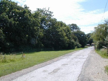
4.1 The edge of the Conservation Area is defined by the thick boundary hedge of Shopland Churchyard. The churchyard is fully enclosed by this tall hedge, which provides no inward views on the approach down Shopland Hall Road and there are no clues to its existence. There are views of modern equestrian buildings at the end of the road, and as one reaches modern cottages on the right hand side the churchyard reveals itself through a gap in the hedge line.
Figure 9. The approach along Shopland Hall Road. The churchyard lies behind the tall hedge on the left
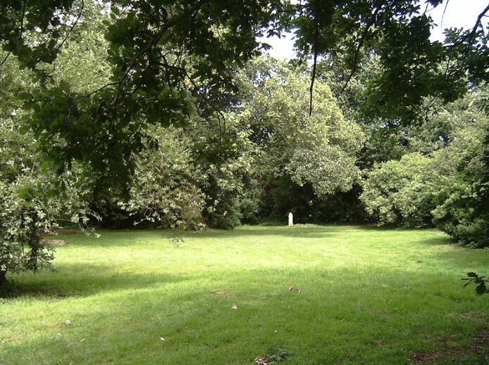
4.2 Through the entrance one first catches sight of a tall monument and a low cross at the foot of a large sycamore tree. On entering the churchyard, the full extent of the site can be taken in, with views across the open green space to small dispersed groups of gravestones, mature trees and scrubby vegetation. Across to the south, shallow grassy earthworks mark the original position of the church. There are no paths or routes through the churchyard, and the visitor can wander freely. From within the space, the rich green boundary provides a sense of complete enclosure and isolation, and, at least in the summer months, affords few glimpses of the agricultural landscape beyond.
Figure 10. View through the entrance into the churchyard
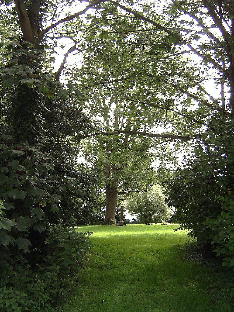
Figure 11. View north from within the churchyard