Shopland Churchyard Conservation Area Appraisal and Management Plan
Origins and Development
2.0 Location and Landscape Setting
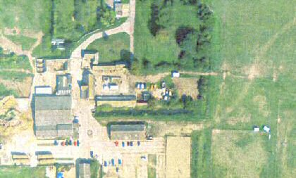
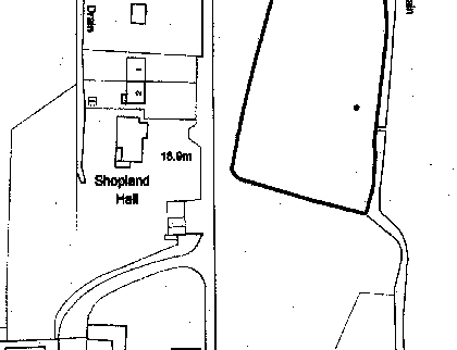
2.1 The Shopland Churchyard Conservation Area is located approximately three miles north east of Southend-on-Sea and one mile south east of Rochford. It is positioned on the east side of Shopland Hall Road, a short private road running south off Shopland Road in the parish of Sutton, which incorporates the former parish of Shopland. The River Roach lies to the north.
Figure 2. Location and setting of Shopland Churchyard

Reproduced by permission of Ordnance Survey® on behalf of theController of Her Majesty's Stationery Office. ©Crow Copyright. Licence number LA100019602
2.2 The Conservation Area is defined by the boundary of the churchyard of the former parish church of Shopland, dedicated to St Mary Magdalen. The plot is trapezoidal in shape, and is approximately 74m by 47m. The edges are marked by a thick hedge of mature trees and scrub which prevent inward views. It is approached from Shopland Hall Road which runs along the western boundary. This is a private road leading to a large equestrian centre with several cottages on its west side. The eastern edge of the Conservation Area is bounded by a drainage ditch, with paddocks to the north and south.
2.3 The Conservation Area lies at one end of a distinctive east-west raised ridge composed of London clays overlain by deposits of sand and gravel.
2.4 The Conservation Area is set in Green Belt land in an area that is predominantly rural and recreational, including golf courses, scattered farmsteads and agricultural fields. Despite its proximity to the urban conurbation of Southend-on-Sea it is largely undeveloped.

